
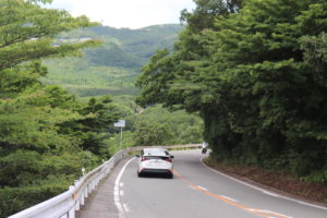
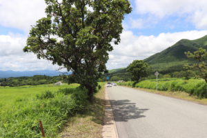
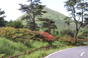
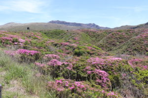
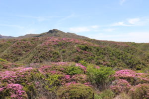
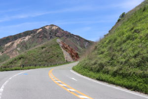
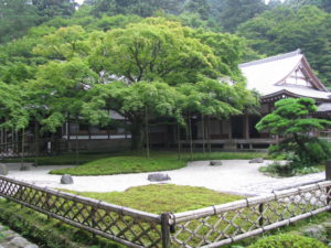
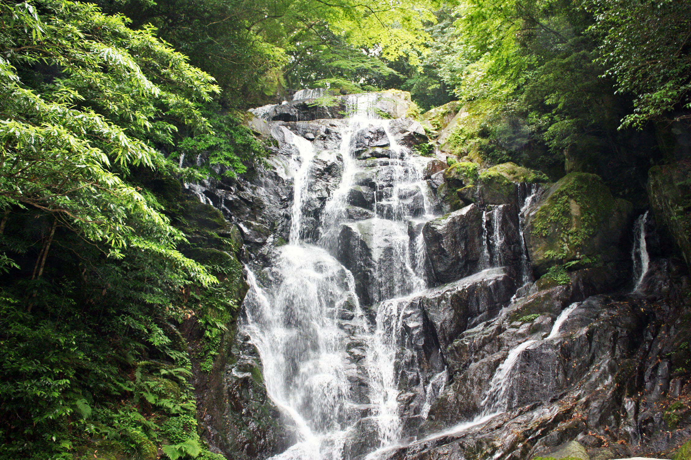
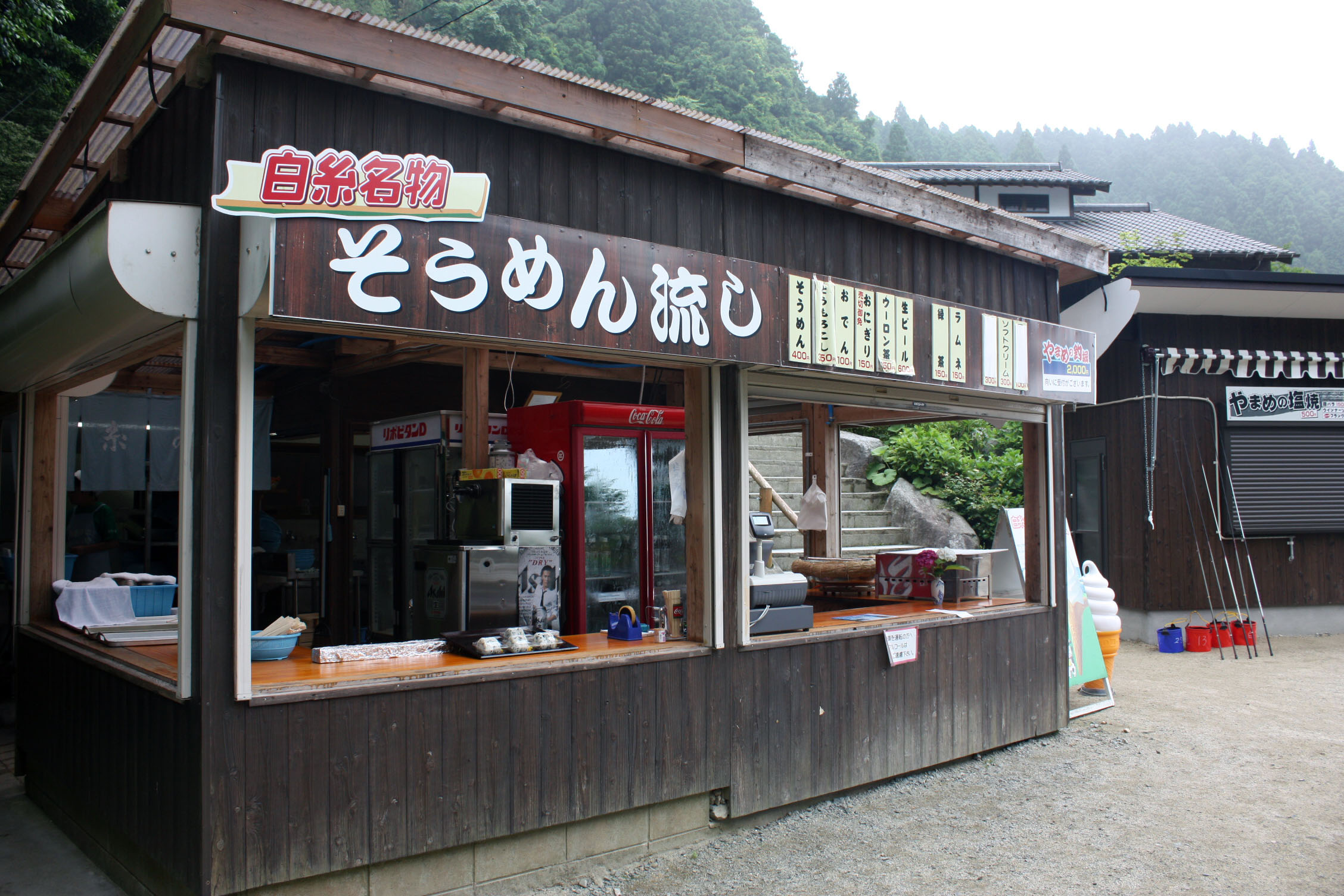
Yamanami Highway
 |
 |
 |
 |
 |
 |
 |
 |
 |
 |
 |
 |
 |
 |
 |
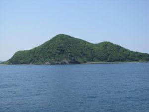
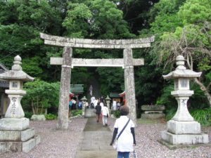
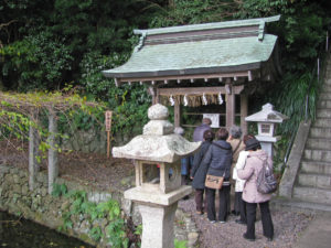
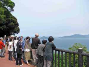
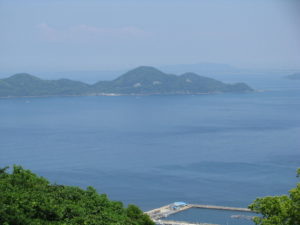
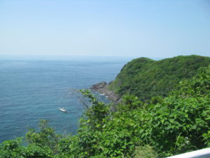
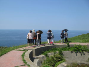
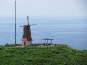
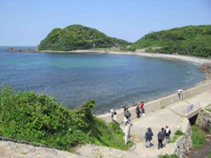
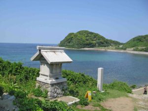
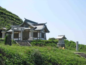
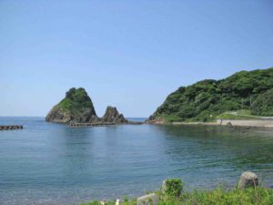
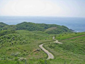
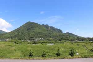
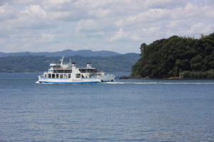
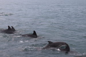
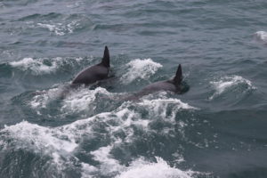
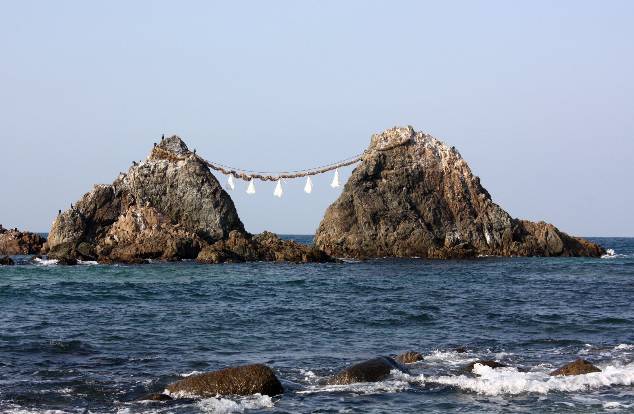
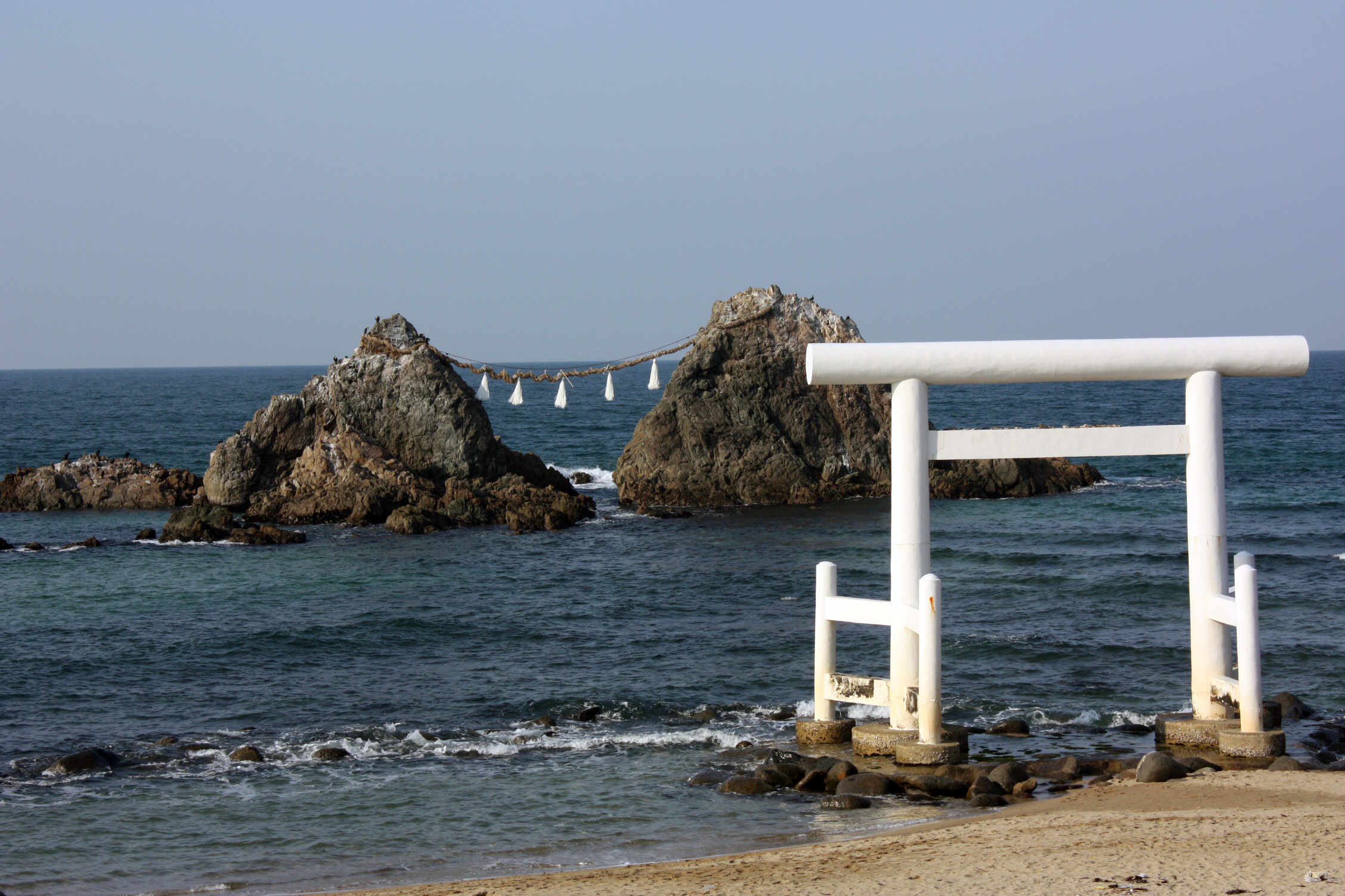
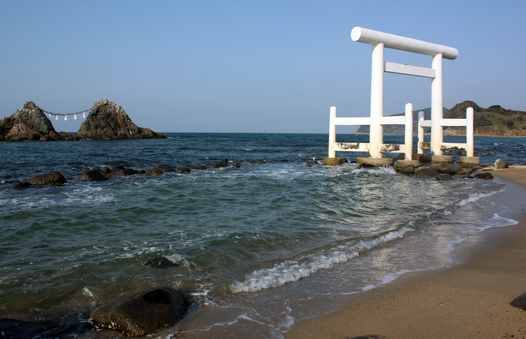
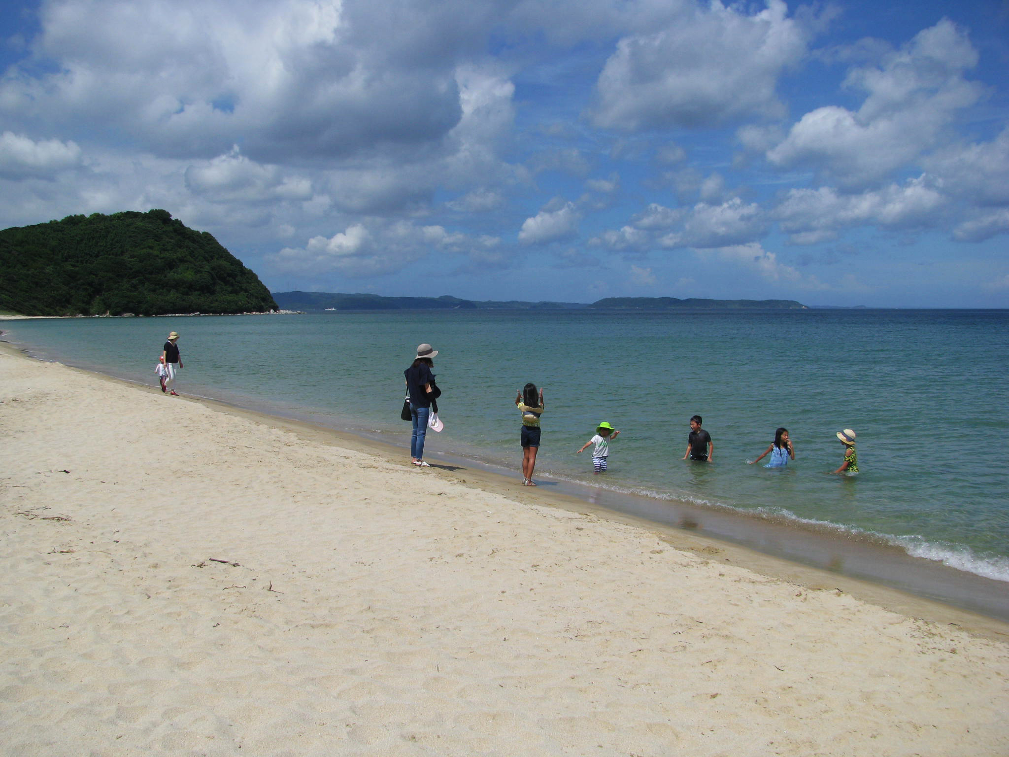
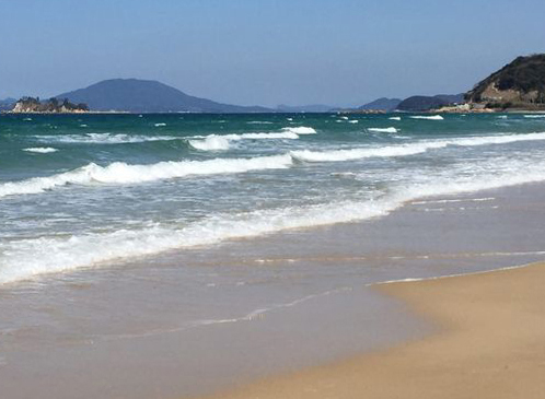
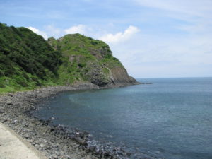
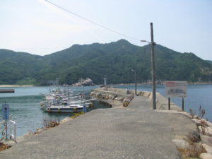
Oshima island, in Fukuoka Prefecture
 |
 |
 |
 |
 |
 |
 |
 |
 |
 |
 |
 |
 |
 |
 |
 |
 |
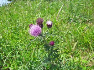 |
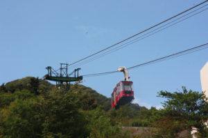
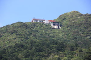
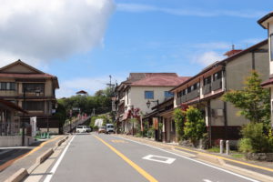
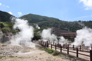
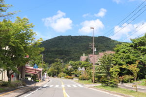
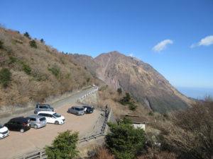
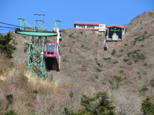
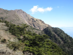
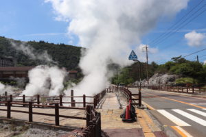
Unzen, in Nagasaki Prefecture
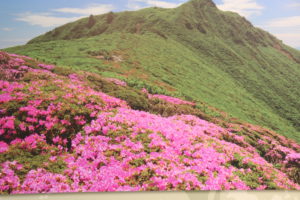
A beautiful highland Onsen Resort situated in Unzen National Park. The area was the
first to be designated as a National Park in Japan. Whether you are taking in the stunning
panoramic views from the top of one of the many peaks, including Nita-toge Pass, or
looking up at these volcanic mountains like Mt. Fugen, you will marvel at the spectacular
scenery. As each season brings a vivid change to the face of Unzen, you may wish to
return again and again to enjoy the full range of rich variations.
 |
 |
 |
 |
 |
 |
 |
 |
 |
 |
 |
 |
 |
 |
 |
 |
 |
 |
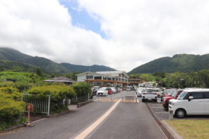
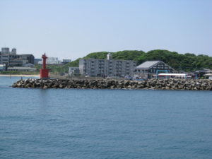
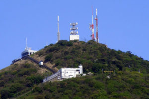
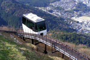
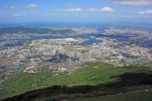
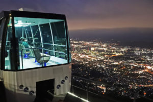
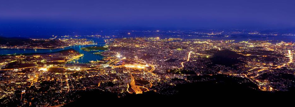
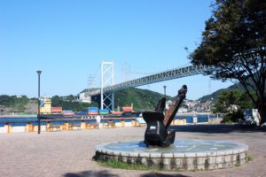
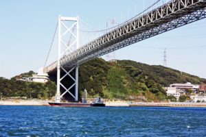
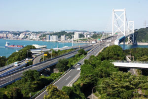
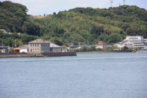
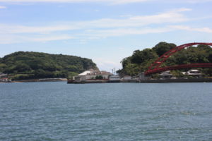
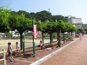
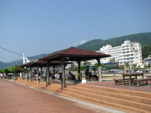
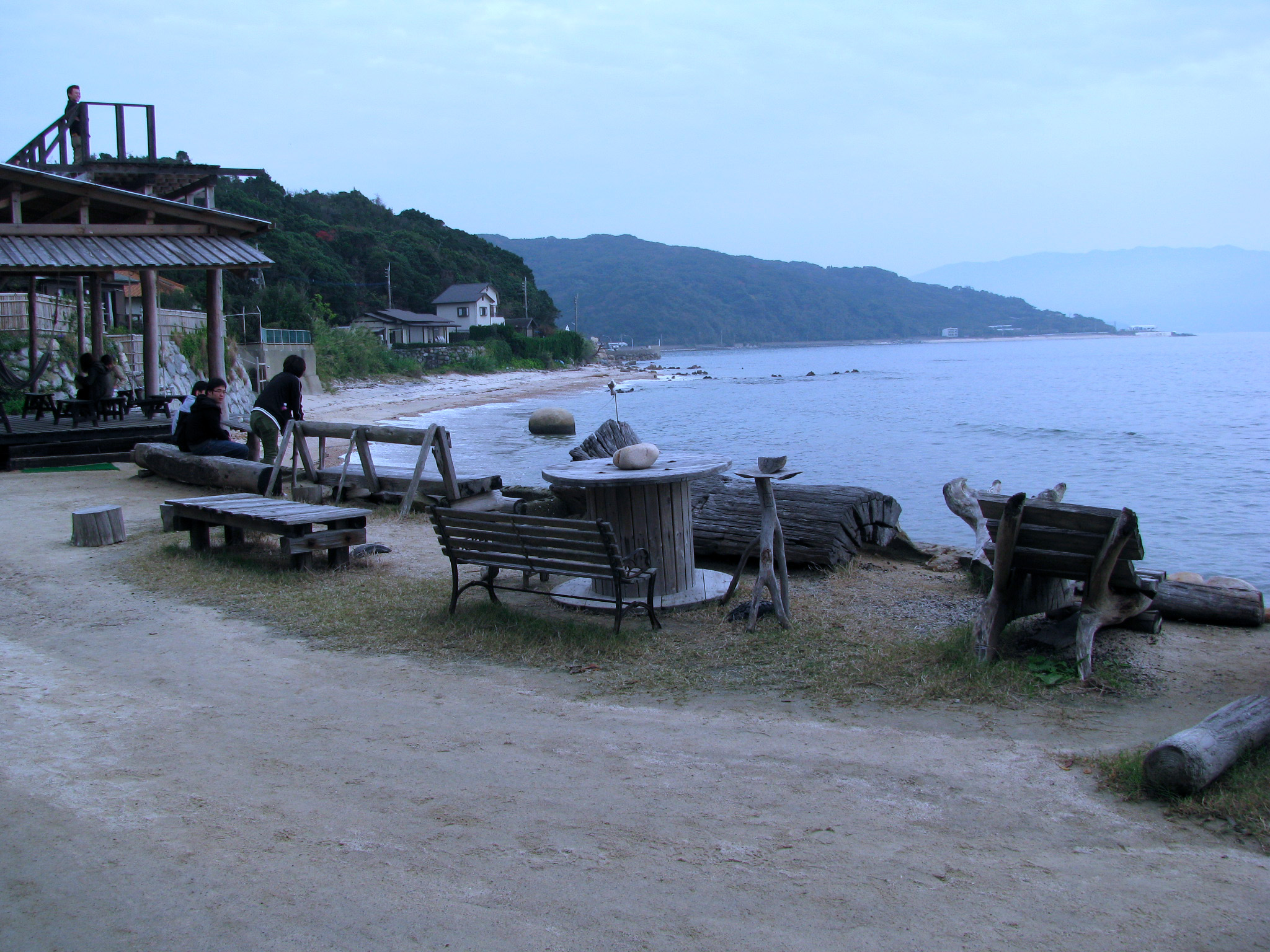
Kitakyushu City, Fukuoka Prefecture
 |
 |
 |
 |
 |
|
 |
 |
 |
 |
 |
 |
 |
 |
 |
 |
 |
 |
 |
 |
 |
 |
 |
 |
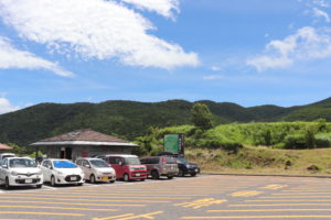
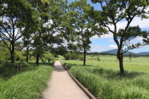
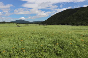
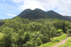
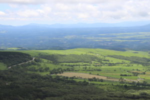
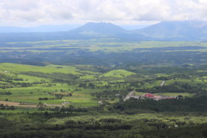
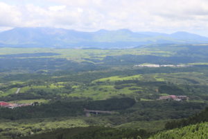
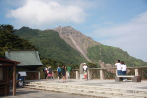
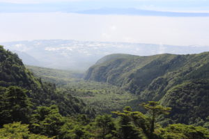
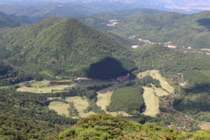
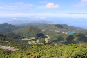
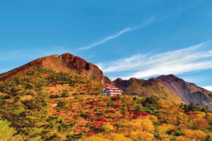
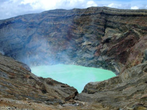
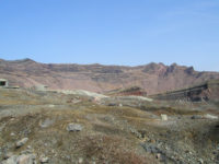
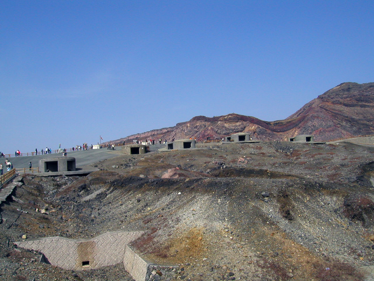
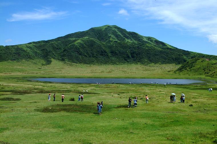
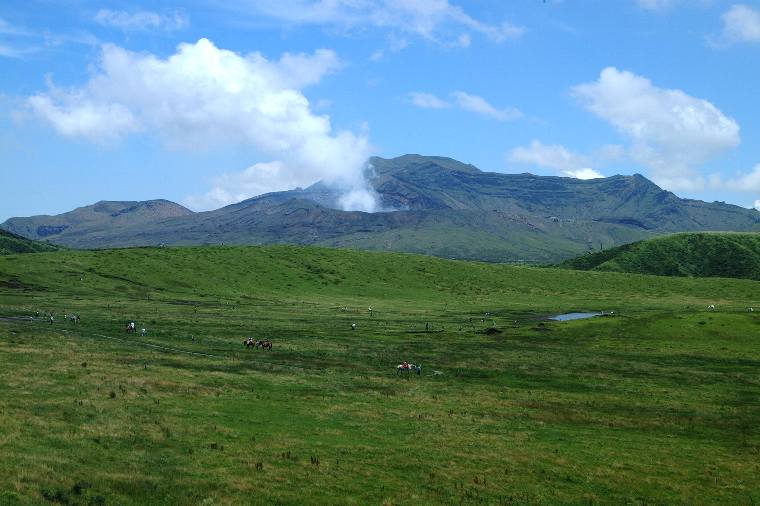
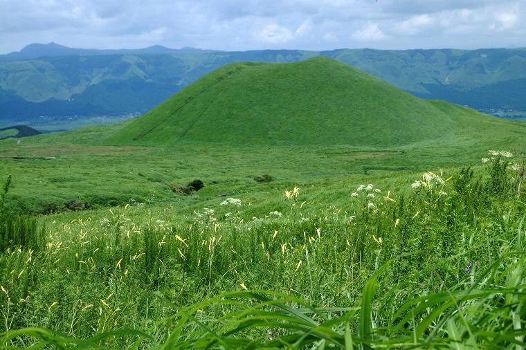
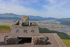
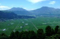
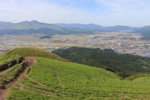
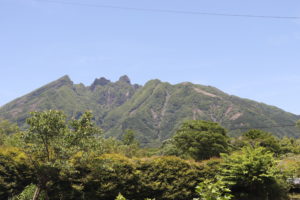
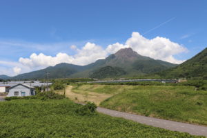
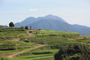
Aso, in Kumamoto Prefecture
Aso is located almost in the center of Kyushu and boasts one of the world’s largest
calderas, stretching 18 km east-west and 24 km north-south. It was created by four
periods of explosive volcanic activity in ancient times. The caldera is surrounded by
an outer rim with a circumference of around 120 km. Within the Aso Caldera, there
are the Aso Five Peaks, including Mt. Naka-dake—an active volcano where the
crater can be viewed from the top. Daikanbo Peak, on the northern part of the
outer rim, is a must-visit location offering panoramic views of the magnificent
scenery, including the Aso Five Peaks and the serene, beautiful green plains below
 |
 |
 |
 |
 |
 |
 |
 |
 |
 |
 |
 |
 |
 |
 |
 |
 |
 |
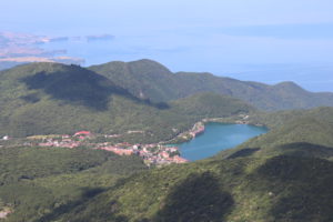
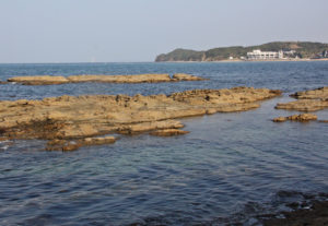
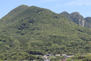
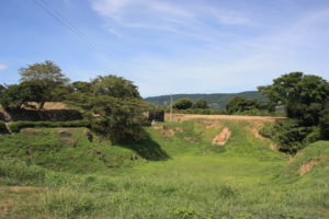
Shimabara Peninsula, in Nagasaki Prefecture
The Shimabara Peninsula is located on the eastern side of Nagasaki Prefecture.
The peninsula is surrounded by three calm seas and boasts magnificent nature.
You can find a unique landscape shaped by the volcanoes situated in the center
of the peninsula.
 |
 |
 |
 |
 |
 |
 |
 |
 |
 |
 |
 |
 |
 |
 |
 |
 |
 |
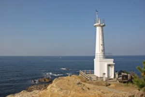
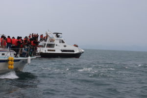
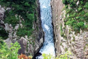
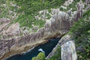
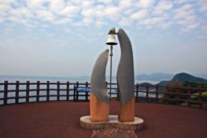
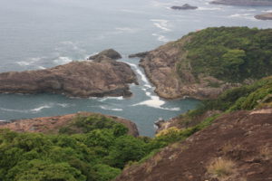
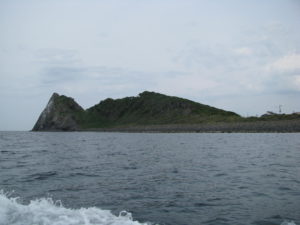
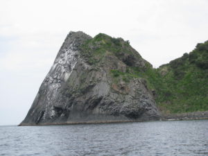
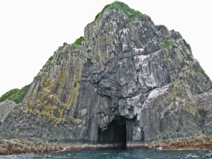
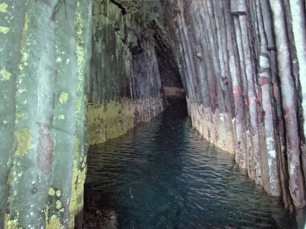
Umagase, in Hyuga, Miyazaki Prefecture
Exciting scenery created by the raging waves of the Hyuga Sea.
The coastline here is a ria coastline, marked by intricate waterways sandwiched
between steep cliffs. The cliffs reach 70 meters in height, and the sight of waves
crashing against them is truly spectacular. The bare rock faces of the cliffs feature
columnar joints, which were formed when magma from a volcanic eruption cooled
and hardened. The name “Umagase” is thought to come from the fact that the
color of the rocks resembles that of a horse’s back.
 |
 |
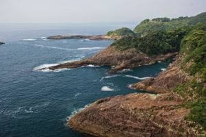 |
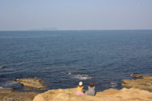
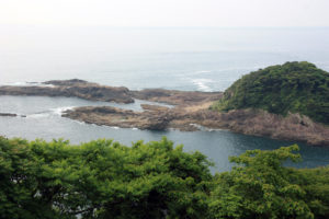
Cruz Sea, in Hyuga, Miyazaki Prefecture
Where your wishes come true. The Sea of Cruz is a coastal area that appears to form
a cross when viewed from the observatory. This cape is part of a ria coastline; the
“cross shape” was created by the narrow terrain being eroded by the sea and rivers,
resulting in a cross-shaped waterway. Because this shape resembles the Japanese
kanji character “叶” (meaning “to grant a wish”), it is widely believed that if you make
a wish here, it will be granted
 |
 |
 |
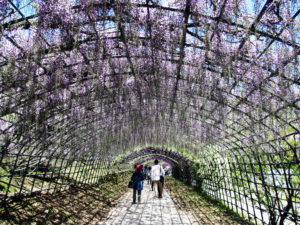
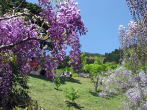
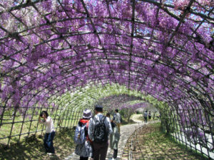
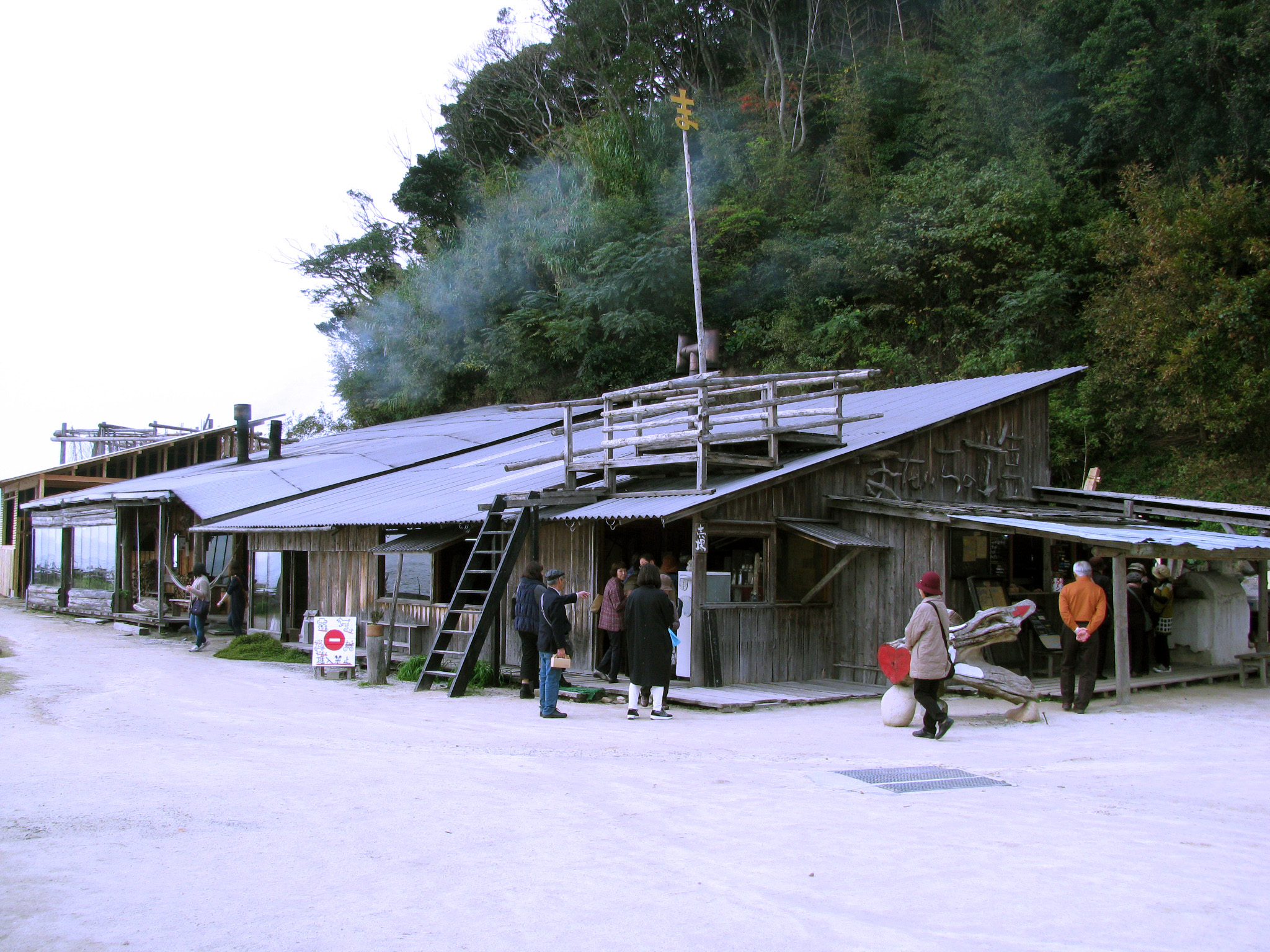
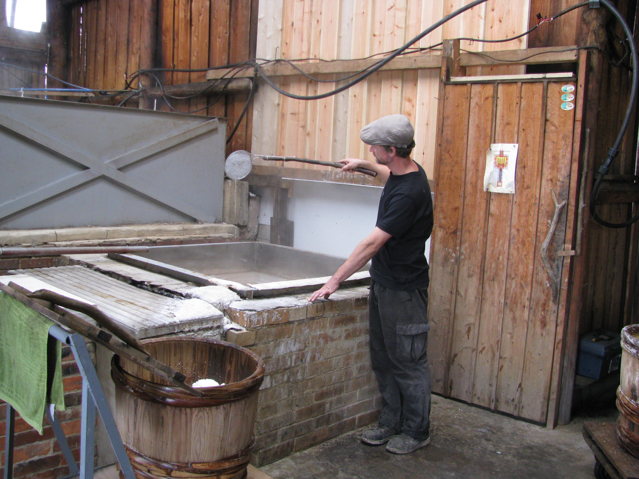
Itoshima, in Fukuoka Prefecture
 |
 |
 |
 |
 |
 |
 |
 |
 |
 |
 |
 |
 |
 |
 |
 |
 |
 |
 |
 |
 |
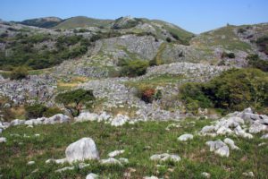
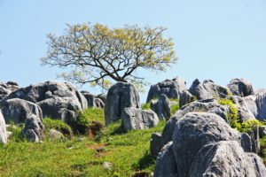
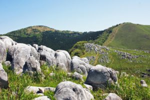
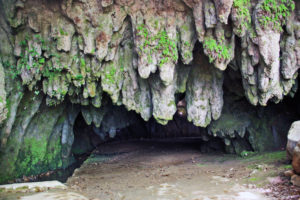
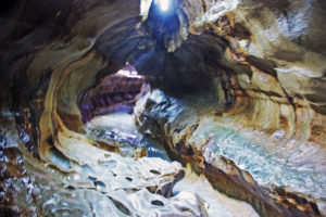
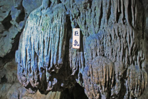
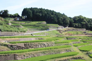
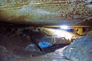
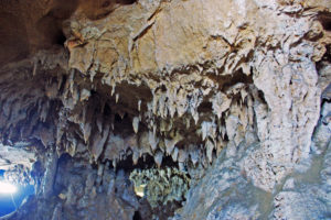
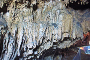
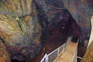
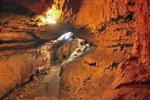
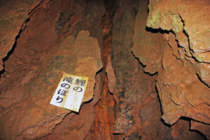
Hiraodai Karst Plateau & Caves, in Fukuoka Prefecture
Hiraodai Karst Plateau & Caves is located in Kitakyushu City, Fukuoka Prefecture.
It is one of the three largest karst plateaus in Japan, situated at altitudes between
400 and 600 meters above sea level. The plateau stretches 6 km from north to south
and 2 km from east to west.
|
|
|
Yougunbaru was so named because the limestone rocks scattered across the vast
meadow resemble a flock of sheep. Along with dolines (conical hollows) and limestone
caves, they create a truly distinctive landscape.
The plateau offers a unique view in each of the four seasons: the dramatic “burnt field”
(Yamayaki) in spring, fresh and vibrant greenery in early summer, and the serene,
dry plains of autumn.
|
|
|
 |
 |
 |
 |
 |
 |
 WhatsApp: Chat with us