
Nature in Kyushu
This Tourist information is created by Japan KYUSHU Tourist for enjoyment
of your travel. We are a Travel Agent in Fukuoka specializing in Kyushu.
When you have an idea or a plan for traveling in Kyushu, Japan, please contact
us by sending an Enquiry.
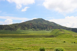
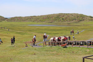
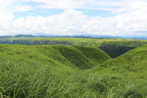
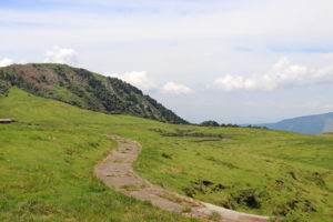
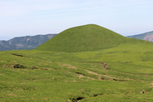
The beautiful prairie of 785,000 square meter in the crater. Spreads in northern part of
Mt. Eboshi that is one of the Aso five Mountains.
A big pond at its center and grazing horses round about make an idyllic scene.
Visitors can enjoy the various seasons from its vivid green summer to the fantastic silvery
winter, as well as riding horses and strolling around throughout the year.
 |
 |
 |
 |
 |
 |
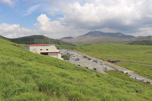
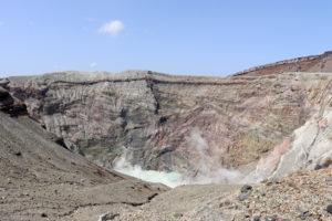
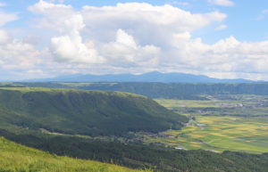
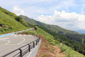
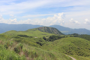
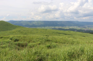
Mount Naka is a part of Mount Aso.
Mount Aso is consist of five consecutive mountain located in the Caldera where is
25 km across north to south and 18 km across east to west.
The most exciting mountain is Mount Naka with an altitude os 1506m which is the
largest active volcano in Japan.
You can see the Crater from the top, depending on the weather condition.
 |
 |
 |
 |
 |
 |
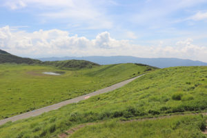
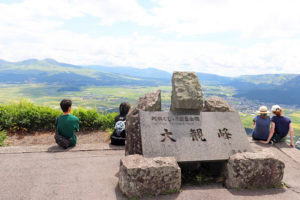
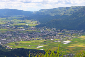
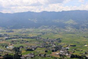
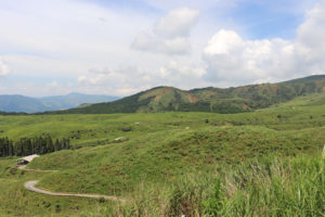
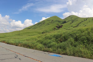
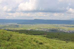
Daikanbo is located on the northern part of outer edge of the Aso Caldera. The perfect spot view
the northern part of caldera and the Aso five mountains. The must visiting tourist spot in Aso,
The circumference of the Aso caldera is about 130 kilometers. From the observation site, you
can clearly see its conical shape. Early in the morning, the clouds had spread out below us, and
hung over the caldera as if they were a large sea.
 |
 |
 |
 |
 |
 |
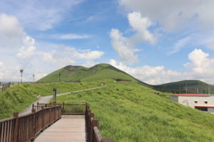
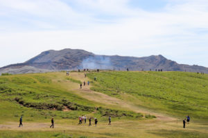
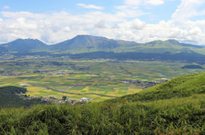
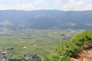
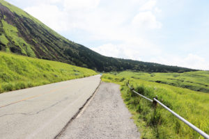
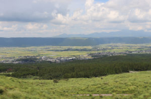
Aso South Panorama line, in Aso
The Aso Panorama line is the Aso mountain roads that leads to the summit of Mount Five mountains.
There are three routes, and the most recommended are South and North Panorama
lines. Aso South Panorama line is connected from Minami-Aso to Aso Five mountains area.
 |
 |
 |
 |
 |
 |
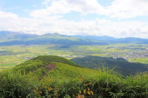
Aso North Panorama line, in Aso
Aso North Panorama line is connected from Aso-city to Aso Five mountains.
 |
 |
 |
 |
 |
 |