
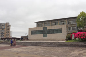
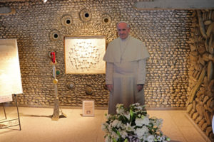
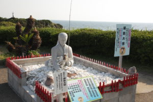
Pope Francis
I visited the site of Martyrdom of the 26 Saints of Japan where
Pope Francis visited in November 24, 2019.
 |
 |
 |
April 26, 2025
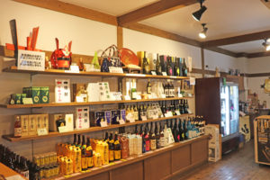
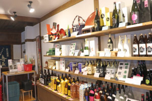
Yatsushika Brewery
The Brewery making Japanese Sake and Shochu is located in Kokonoe, Oita-prefecture
and it was founded in 1864.
You can enjoy sake tasting and shopping.
 |
 |
 |
April 22, 2025
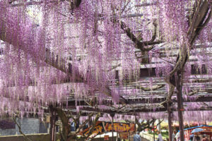
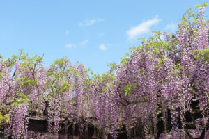
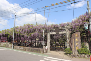
Kurogi large wisterial tree
Kutogi is located in Yame, Fukuoka-prefecture.
The tree is more than 600 years old, the total area of its scaffolding structure at 3,000 square
meters and its longest flower clusters measuring in at 150 centimeters, the tree looks truly
spectacular when it blooms.
 |
 |
 |
April 21, 2025
Amakusa
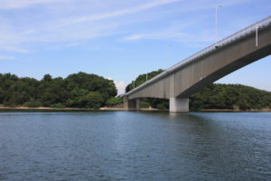
Amakusa is situated on an archipelago consisting of several island on the west side
of Kumamoto. It possesses a beautiful lush green landscape and natural geological
formations giving the islands the designation “national Geopark”.
 |
 |
 |
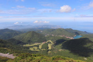
April 20, 2025
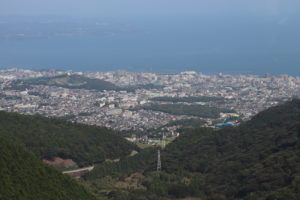
Mount Tsurumi
Soaring 1375 metres into the sky, Mount Tsurumi is a breath taking mountain overlooking
Beppu that offers some decent hiking, rare flora and outstanding vistas.
 |
 |
 |
April 19, 2025
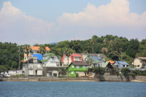
Ibusuki
Ibusuki is known for it’s hot spring Onsen Resort, and it’s famous natural
steam sand baths located on Kinko bay.
 |
 |
 |
April 16, 2025
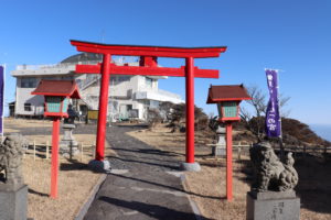
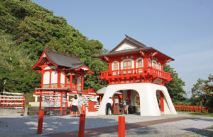
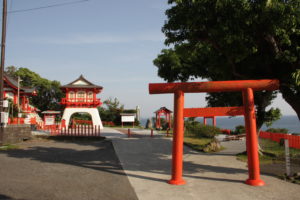
Ryugu Shrine
It is the Urashima Taro legendary shrine peninsula and this shrine
is becoming popular as a power spot of matchmaking and good fortune in love.
It is located in Nagasaki cape, Satsuma peninsula.
 |
 |
 |
April 14, 2025
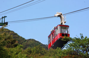
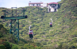
Unzen Rope way
The rope way in Unzen connected between Nita Pass station and Myoken station.
From the summit of Mt. Myoken, which is 1,333 meters above sea level, on a clear
day in any season, you can see breathtakingly beautiful views of the Ariake Sea,
the Amakusa Islands, and even Kirishima in the distance.
 |
 |
 |
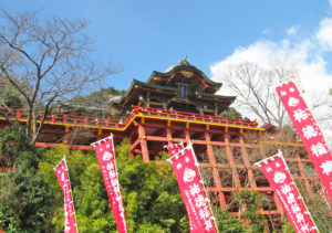
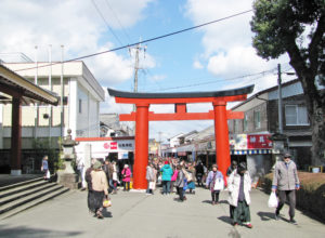
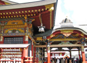
April 12, 2025
Yutoku Inari Shrine
One of the most famous Inari shrines in Japan and located in Kashima-city,
Saga-prefecture. Dedicated to Inari, the deity whose messengers are foxes,
it is the third largest of its kind in Japan.
 |
 |
 |
April 11, 2025
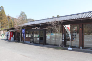
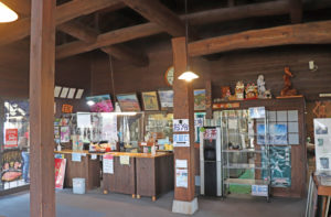
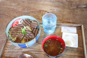
Market research of Restaurant in Kokonoe
I visited local restaurant, Bebenko, in Kokonoe where starting point of Yamanami Highway.
The restaurant has a Farm and the beef dishes are very tasty.
The Scenery of Kuju and Aso area from the restaurant is very beautiful and dynamic.
We really recommend here for lunch.
 |
 |
 |
April 10, 2025